How to Use a Marine Autopilot for Long Trips

How to Use a Marine Autopilot for Long Trips

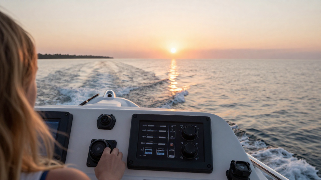
Navigating long trips at sea can be a daunting task, but understanding how to use a marine autopilot makes it significantly easier. With the help of modern technology, a marine autopilot can minimize the strain of constant steering and allow you to focus on other important aspects of your journey. What is a Marine Autopilot? … Read more

How to Tow a Ski Boat the Right Way

How to Tow a Ski Boat the Right Way

If you’re eager to hit the water this summer, knowing how to tow a ski boat the right way is essential for an enjoyable and safe experience. What Should You Know Before Towing a Ski Boat? Before you get behind the wheel, it’s crucial to understand some fundamental aspects of towing a ski boat. Here … Read more

How to Identify and Use a Trawler Boat

How to Identify and Use a Trawler Boat

Are you fascinated by the world of boating and want to learn how to identify a trawler boat? This comprehensive guide will help you recognize trawler boats and their unique features while also offering insights on how to effectively use them. What Is a Trawler Boat? Before diving into how to identify a trawler boat, … Read more

How to Prepare Your Boat for Summer Use

How to Prepare Your Boat for Summer Use

As the summer season approaches, it’s essential to understand how to prepare a boat for summer use. Proper preparation not only ensures a smooth sailing experience but also keeps your vessel in top shape for all your aquatic adventures. Why is Summer Preparation Important? Preparing your boat for summer is not just about cleaning and … Read more

How to Read Nautical Charts for Beginners

How to Read Nautical Charts for Beginners

If you’re interested in navigation, understanding how to read nautical charts is essential for ensuring safe and enjoyable boating experiences. Nautical charts serve as the primary tool for mariners, providing crucial information about the waters they navigate. What Are Nautical Charts? Nautical charts are specialized maps that show maritime areas, including: Water depths (soundings) Coastlines … Read more